UAV Commercial Pilot in Command
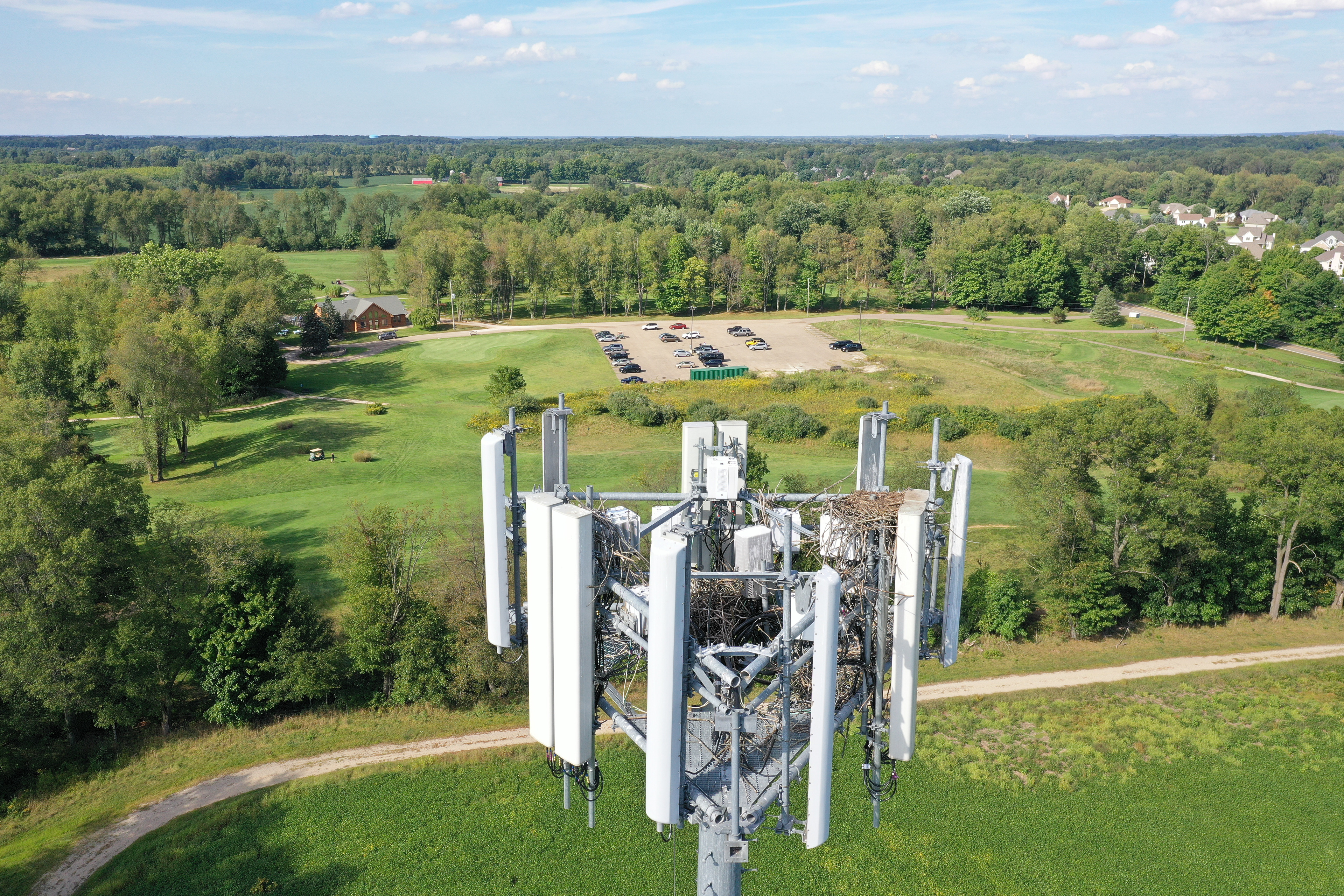
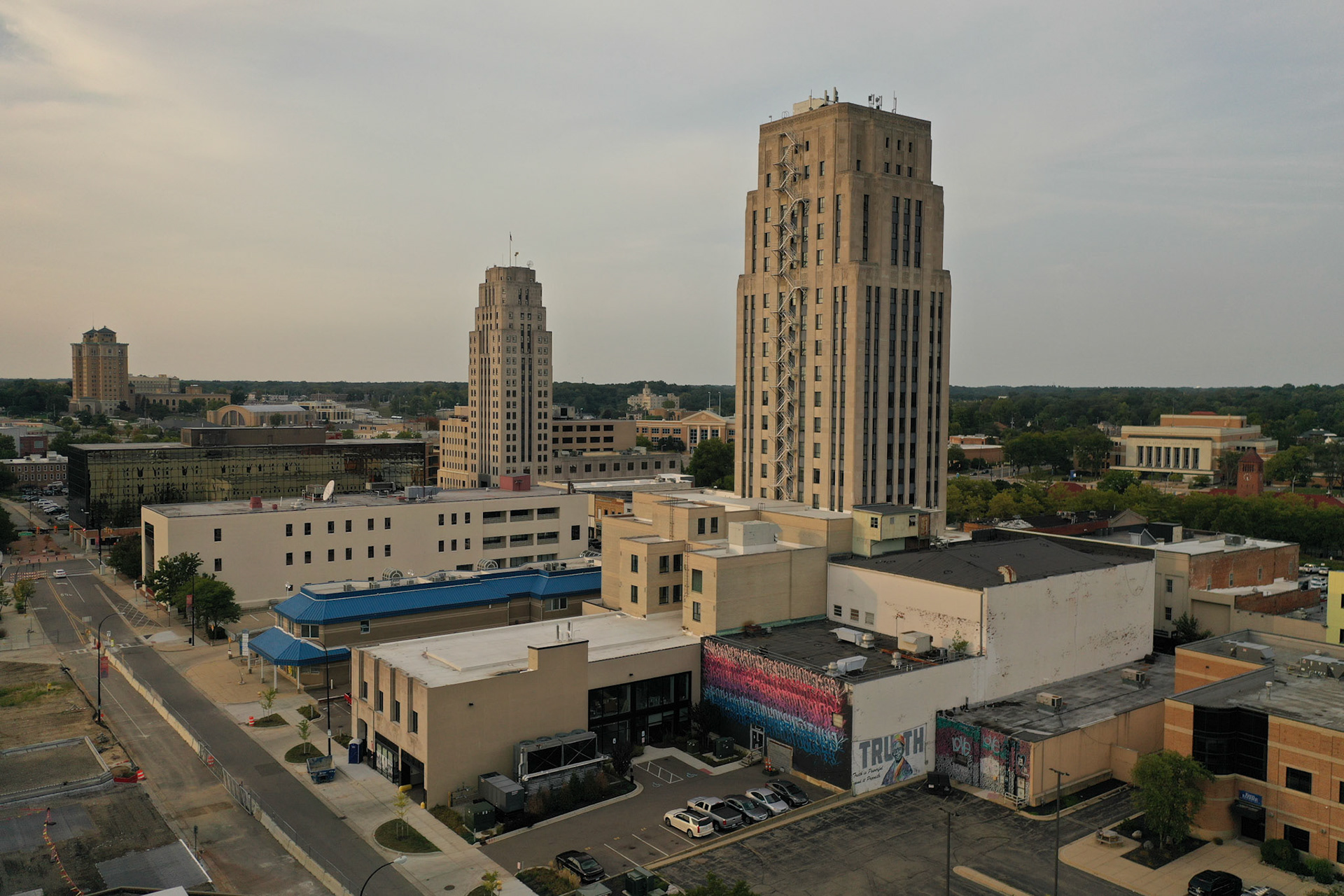
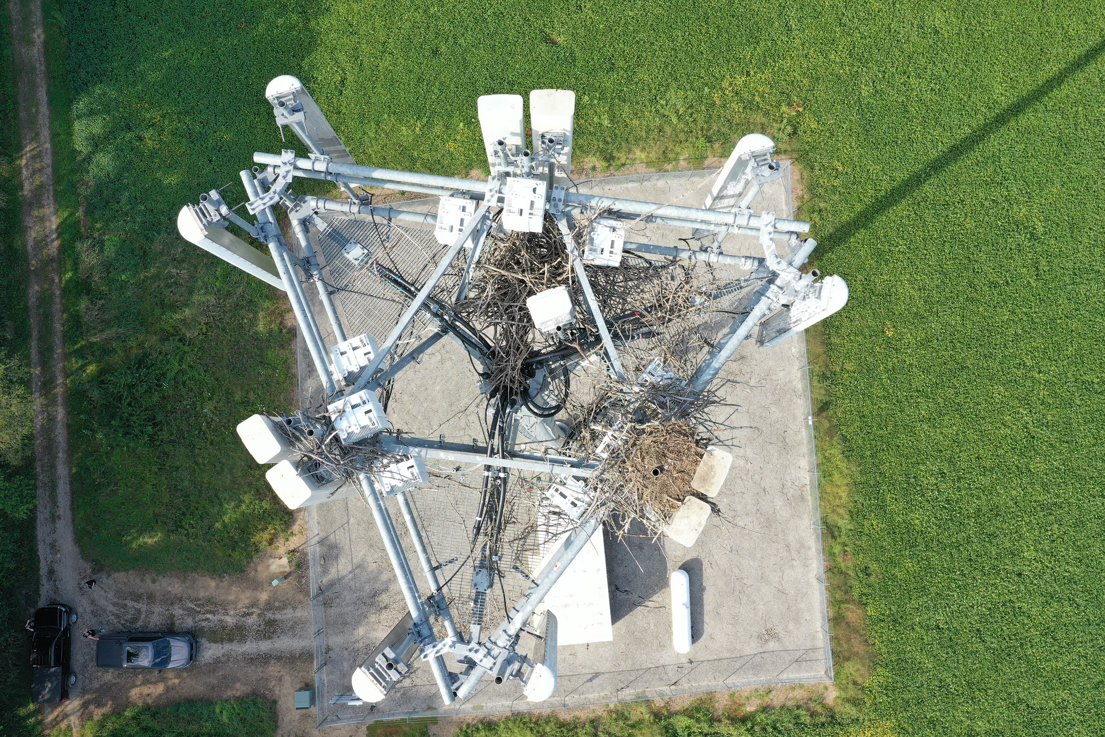
I have held a Part 107 Commercial Drone Pilot certification since June of 2017, signifying my expertise and professionalism in the field. Over the years, I have successfully executed a diverse range of data capture assignments, encompassing powerline inspections, mapping projects, real estate asset capture, video asset acquisition, roof and insurance inspections for buildings and properties, volume measurements for mining operations and other industries, as well as solar and pipeline inspections. Additionally, I have contributed as a flight software QA test pilot for cellphone tower software.
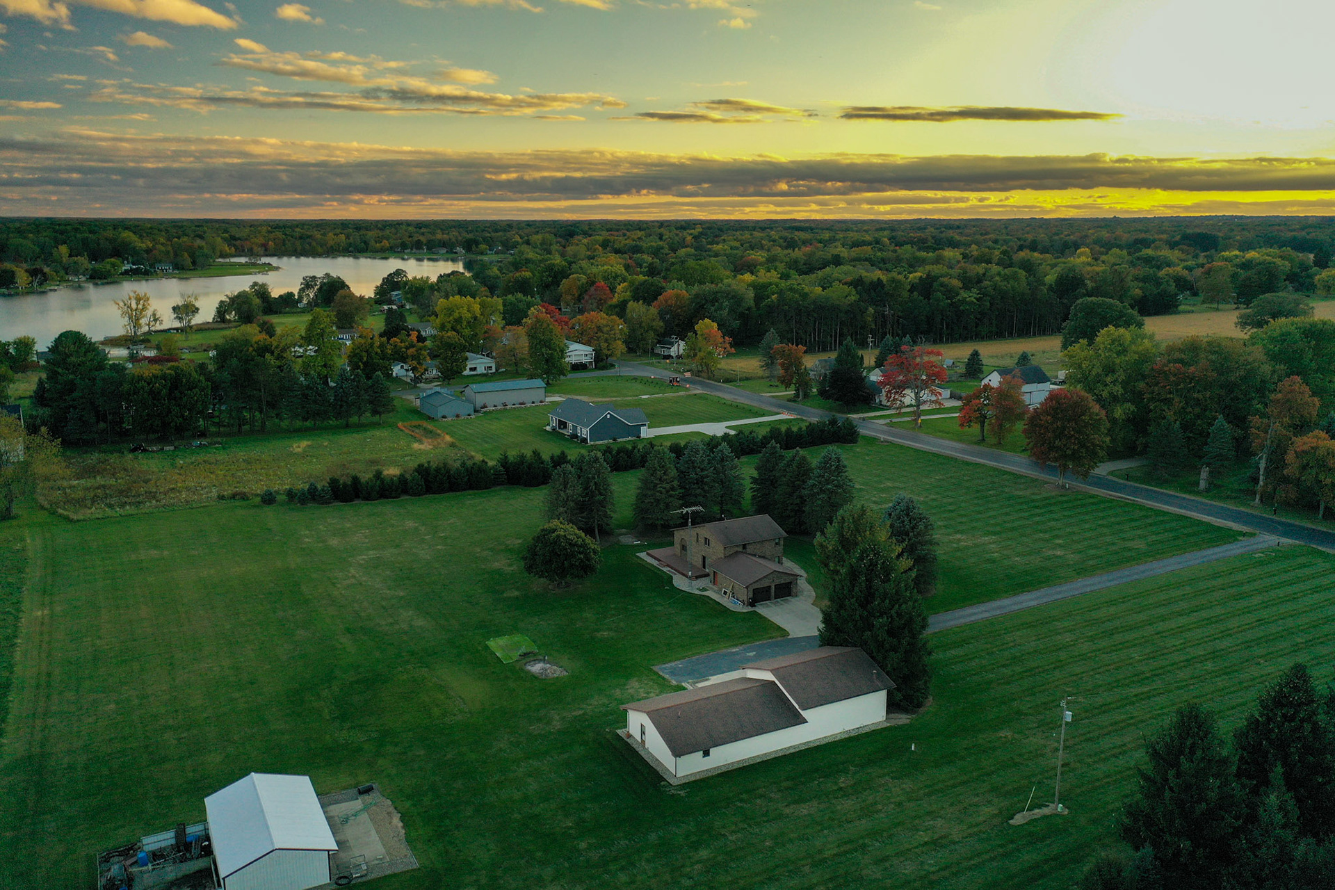
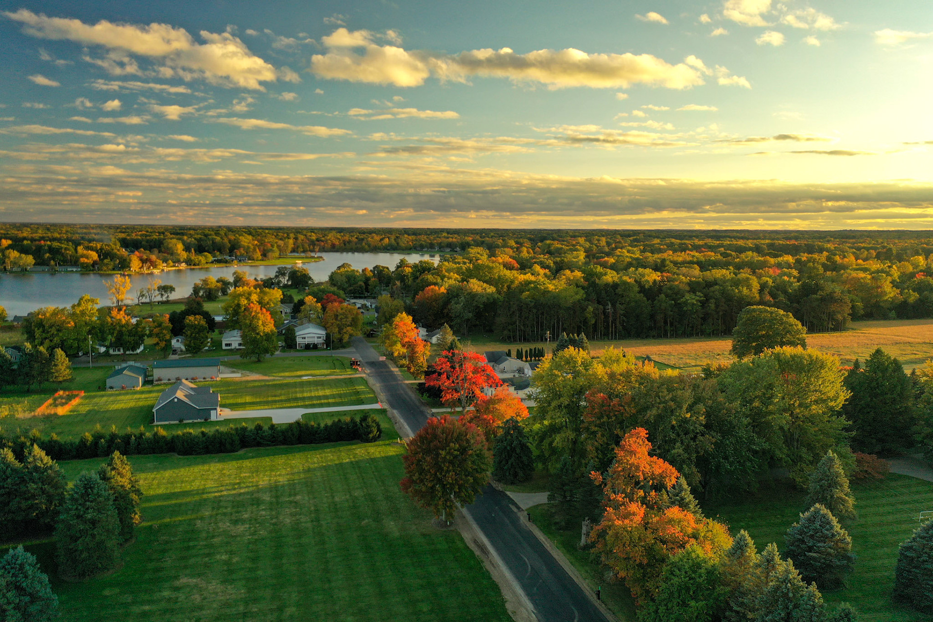
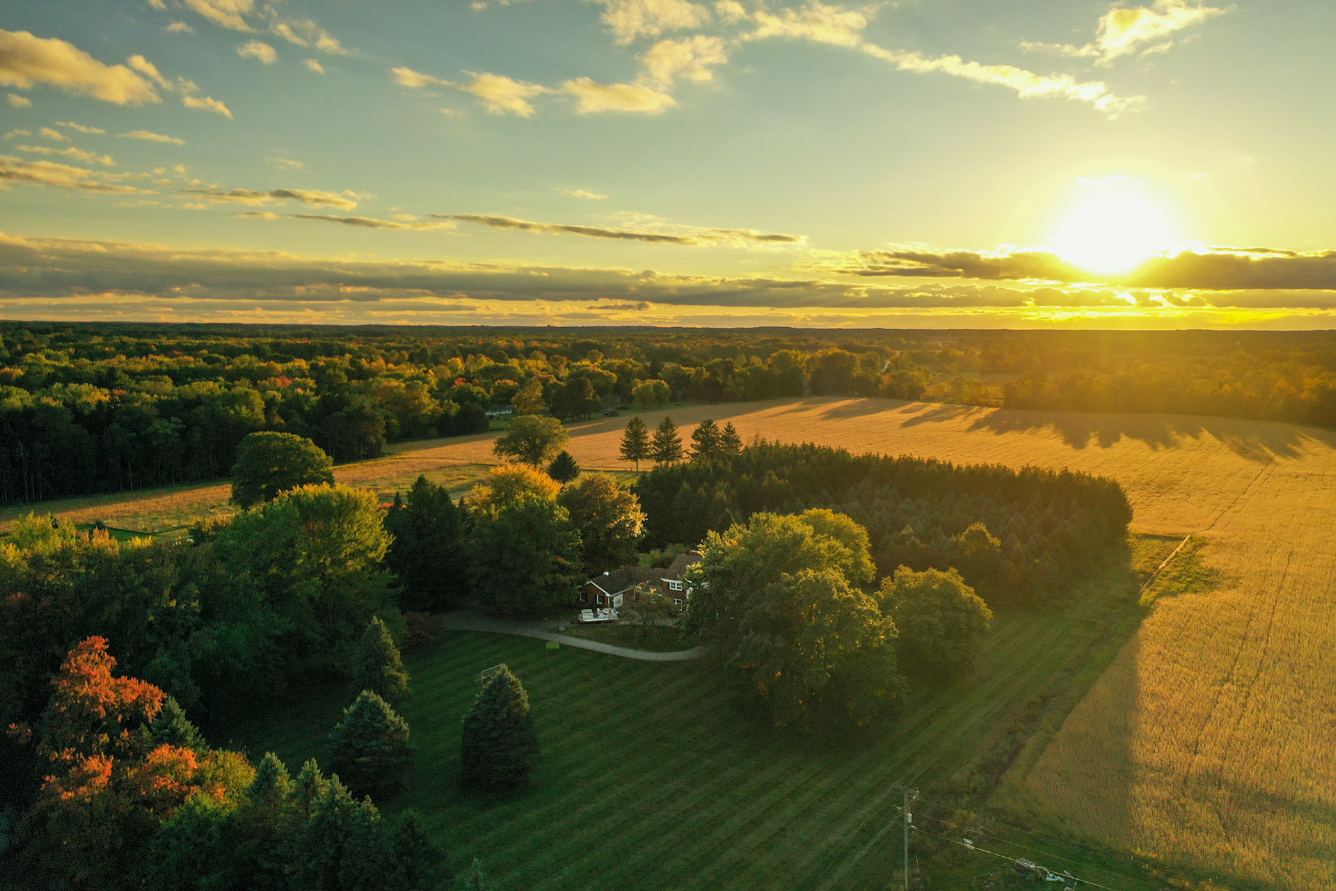
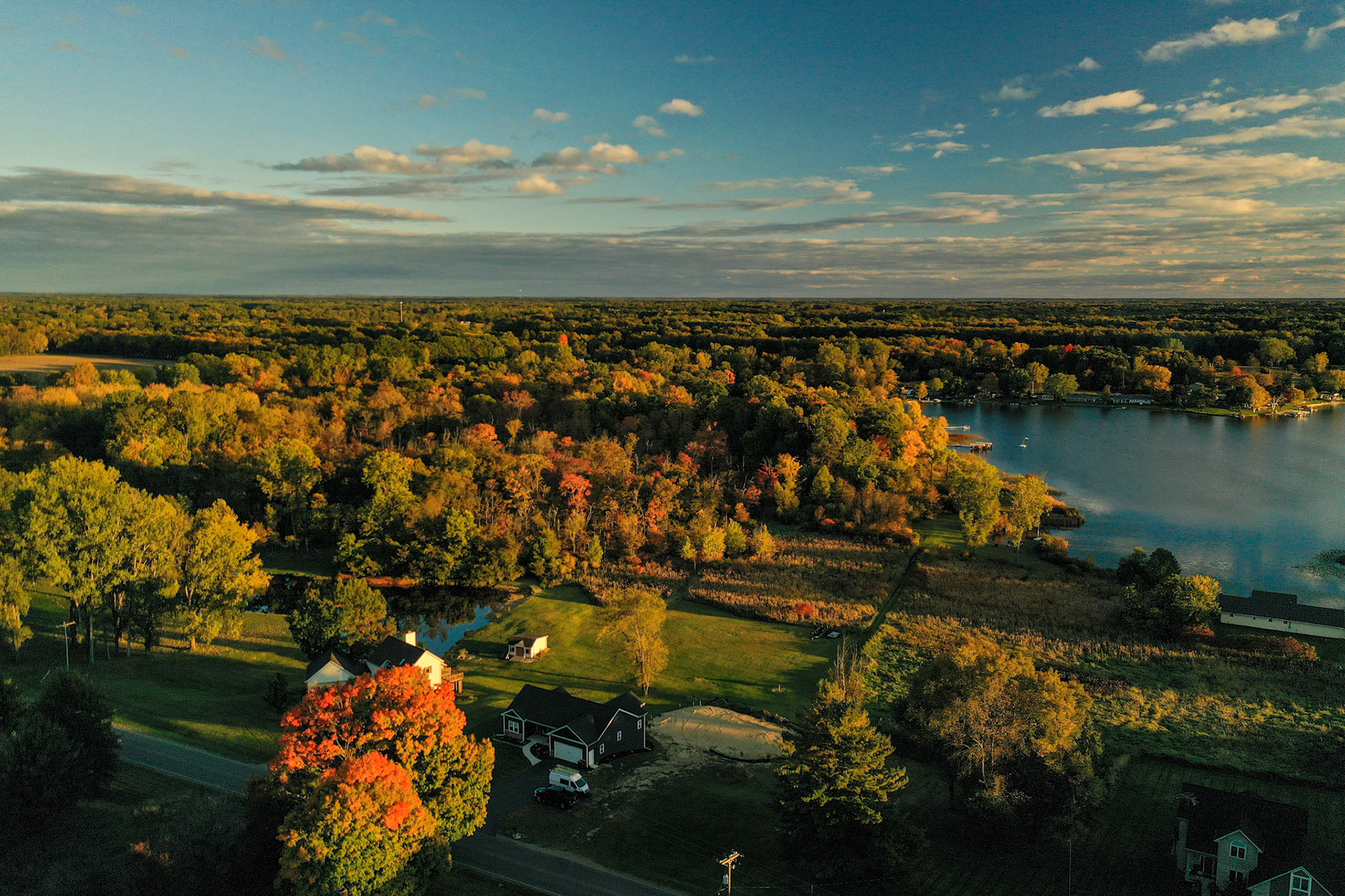
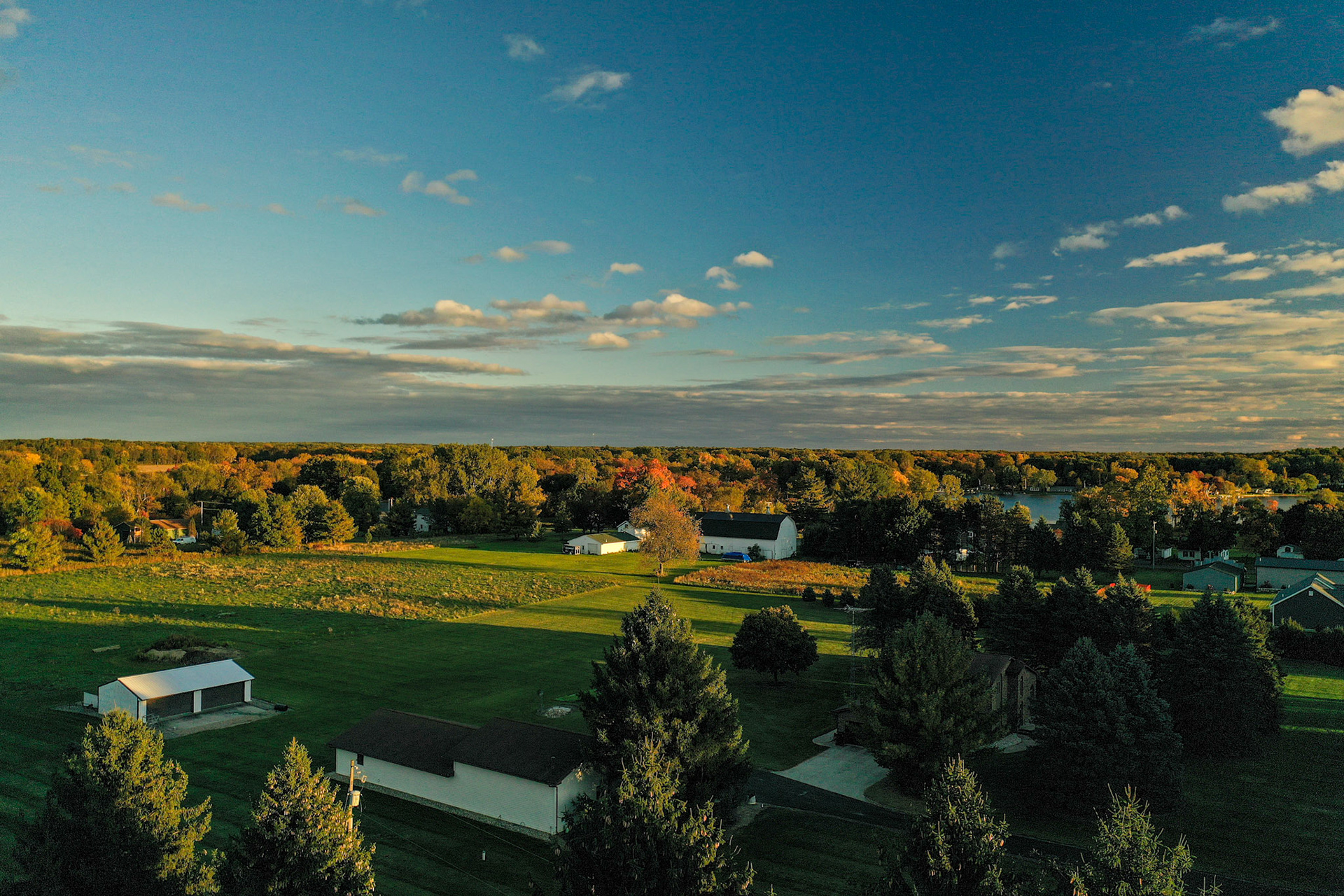
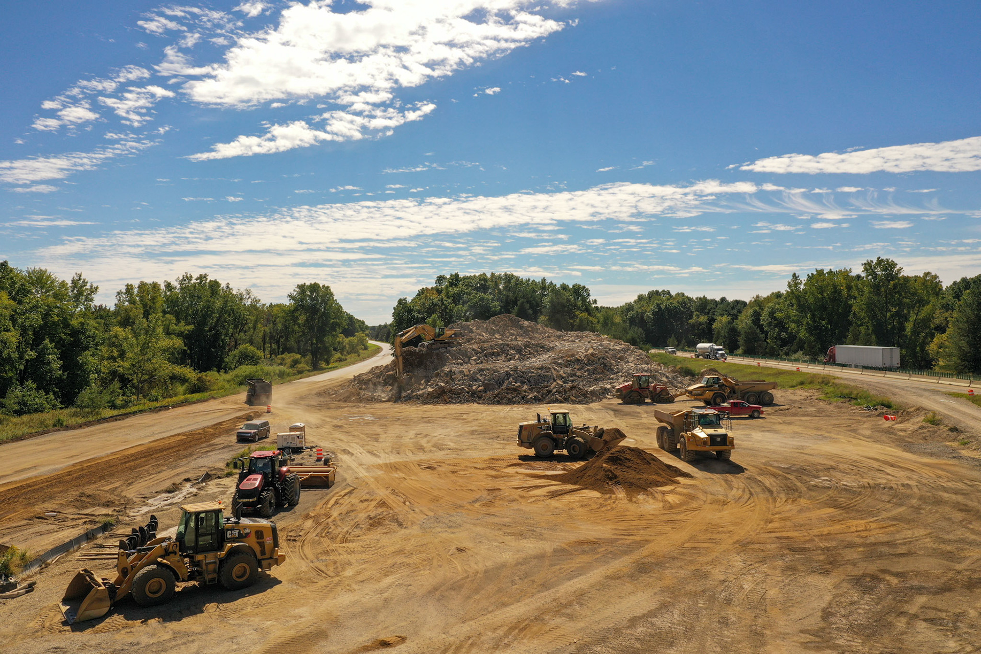
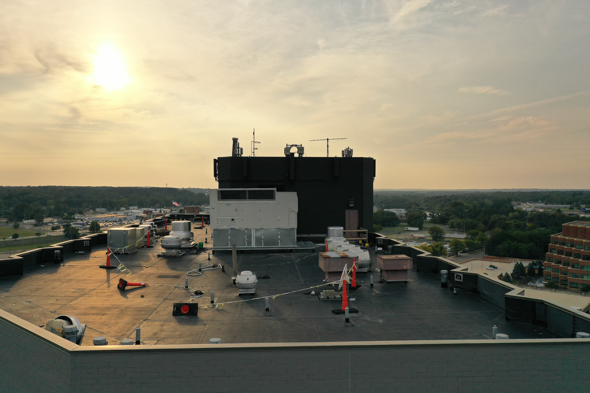
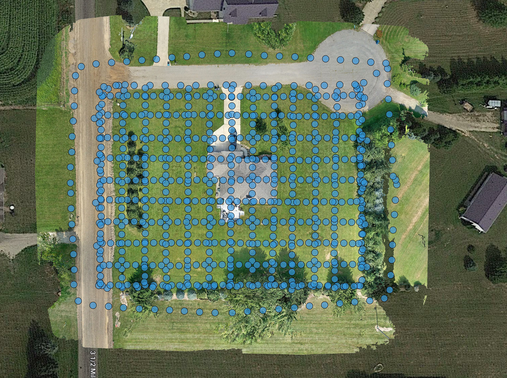
When undertaking flights, I rely on DJI equipment renowned for its reliability and cutting-edge technology. To optimize performance and efficiency, I utilize flight automation software that aligns with the specific requirements of each project. Presently, my service offerings encompass all aforementioned areas, including agricultural applications. I specialize in processing datasets to generate precise maps and orthomosaics of various sites, such as quarries, farms, and construction sites. By leveraging drone technology, I am able to achieve direct access to critical points, maintaining a consistent altitude, and adhering to user-defined orientations throughout the mission. At each designated point, the drone pauses to ensure the recording of highly accurate GPS data while allowing for focused camera adjustments and zoom capabilities. This level of precision and accuracy eliminates the need for potentially hazardous manual inspections of roofs, towers, and other structures, ultimately mitigating risks and ensuring the safety of personnel.
My unwavering commitment to professionalism, expertise, and the utilization of state-of-the-art drone technology enables me to deliver unparalleled results in the realm of data capture. I approach each project with the utmost dedication, ensuring optimal outcomes and exceeding client expectations.
Witness the power of drone mapping technology as we soar above the captivating Detroit River quarry, capturing stunning aerial footage and transforming it into highly accurate maps. Our drones meticulously navigate the quarry, collecting precise data points and imagery to create detailed orthomosaics and maps of the area. Experience the seamless fusion of cutting-edge technology and breathtaking views, as we unlock a new perspective and deliver invaluable insights for industries ranging from construction to environmental planning. Discover the remarkable precision and efficiency of drone mapping, revolutionizing the way we visualize and analyze landscapes.
Camera map from a 3D Model drone flight
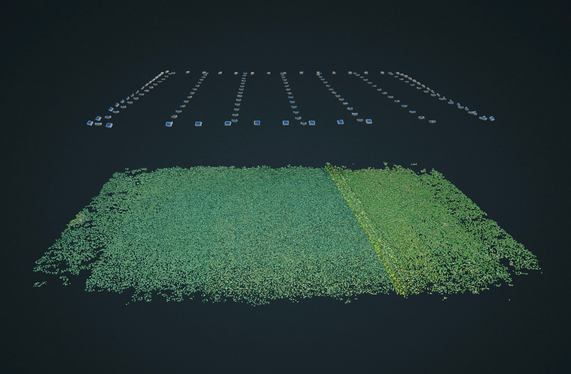
Capture points
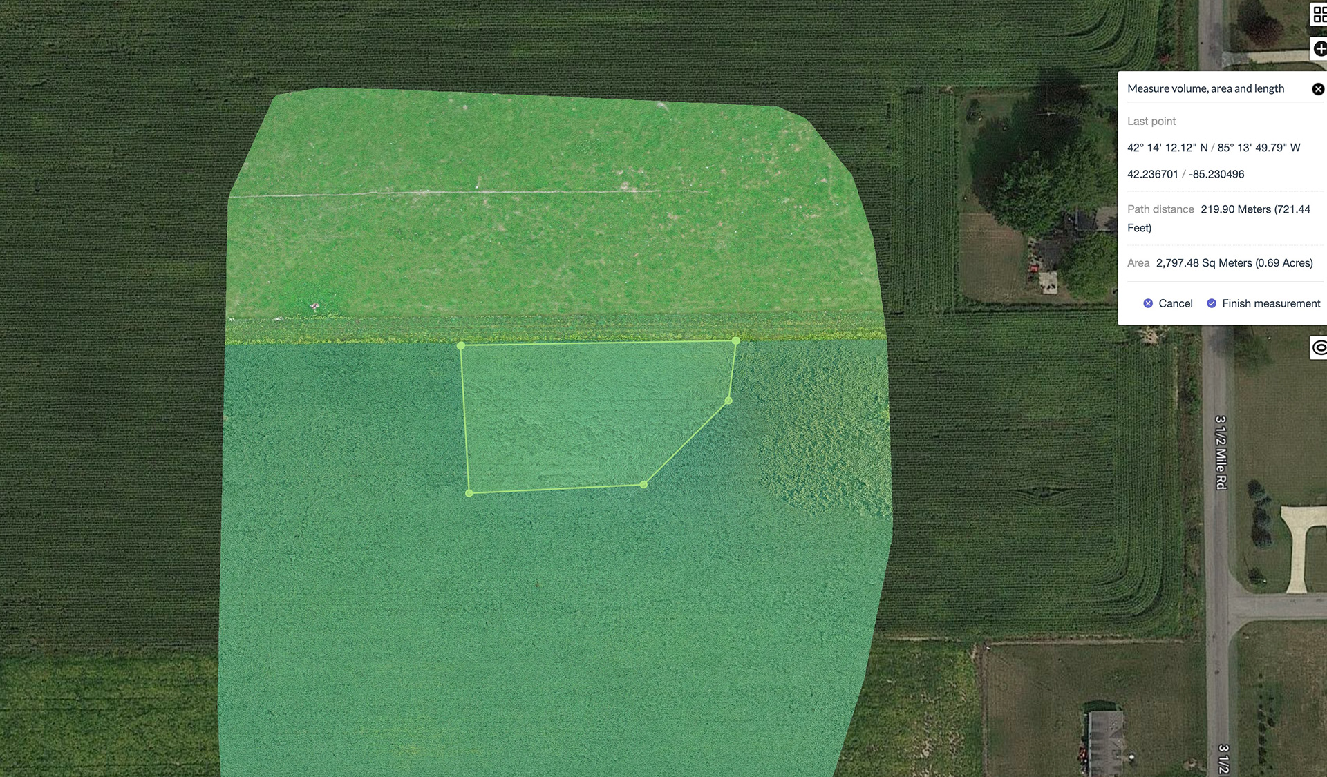
Accurate measurements from the air
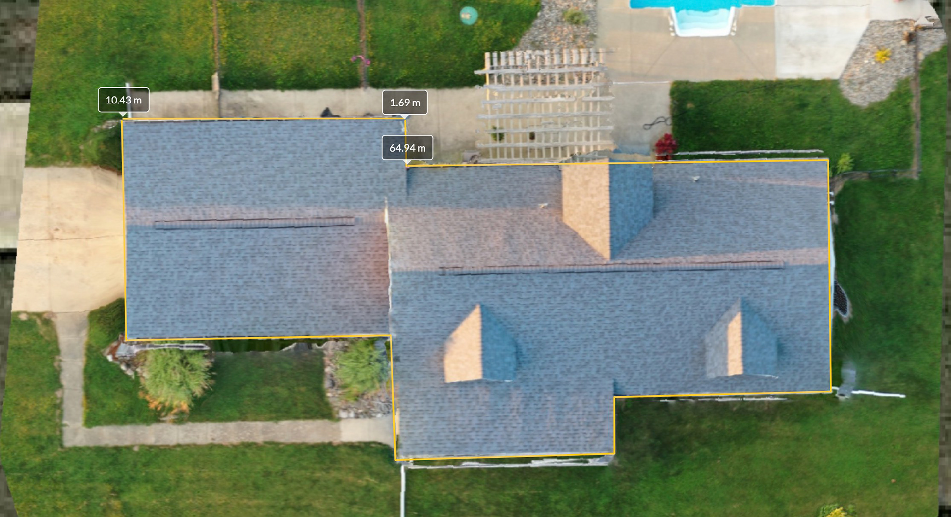
Roof Inspection
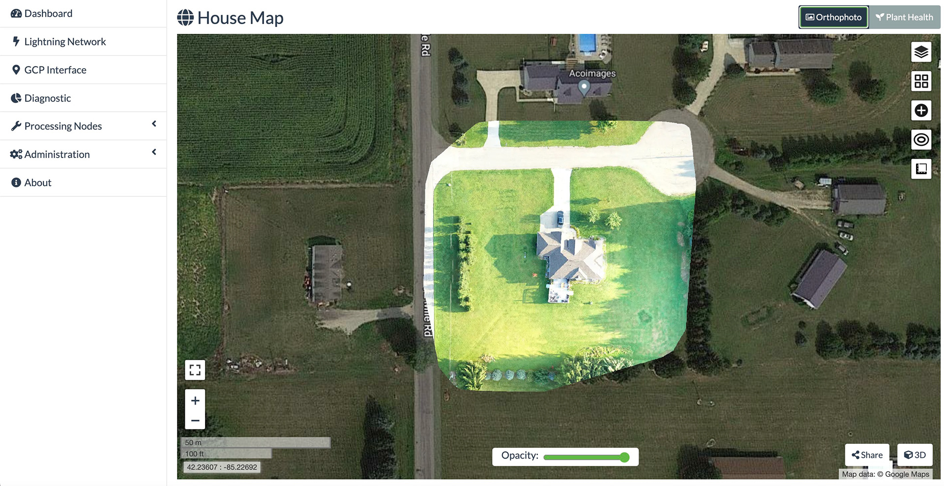
Orthophoto
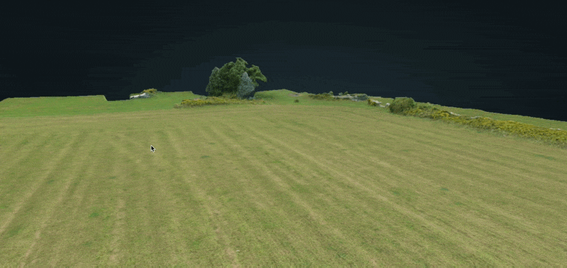
3D mapping